
Resources
Data, Tools & Insights
Southeast Services Publishes Data and Tools that Help Our Clients Understand the Sanitary Sewer and Stormwater Infrastructure Challenges Facing Florida. Built for Municipal Entities, Facility Directors, and Asset Managers Who Want the Full Picture before They Decide.
Flagship Tool
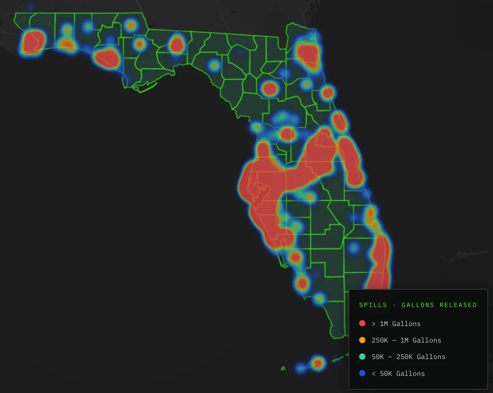
The SSO Risk Map
An interactive map of Florida sanitary sewer overflow data, showing where spills, aging infrastructure, and rainfall coincide.
Use it to see which counties carry the most overflow risk, where pipe age and enforcement history compound that risk, and where rainfall is the trigger versus where the system is failing on a clear day.
- FDEP Sanitary Sewer Overflow Incidents, Geocoded by County
- Pipe-Age Proxy from US Census Housing-Age Data
- EPA Enforcement & Clean Water Act Violation History
- NOAA Rainfall Data, Correlated with Spill Timing
Get Started
Connect with a Solutions Specialist
Field-Grounded Answers About Your System, Not a Sales Pitch.